Skip to content
Aerial Perspective Drones
  • Home
  • Services
    • Building Inspection
    • Farming
    • Property Photography
    • Forestry
  • Prints and Canvases
  • Gallery Page
  • Commercial Operations
  • Contact

photogrammetry

Land Survey in North Yorkshire

17th July 20201st July 2019
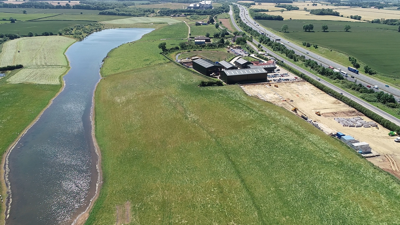
Rabbit Hill Business Park

In conjunction with UK Site Engineering we carried out an aerial topographical survey over a 32acre site for a client in North Yorkshire. After laying out GCP’s1Ground Control Points across the site the flight was carried out using DroneDeploy’s flight planning app. The drone (a DJI Phantom 4 Pro) flew perfectly and collected 272 aerial … Read more

Categories Construction Tags Phantom 4 Pro, photogrammetry, topographical survey

Recent Posts

  • Stuck for a gift?
  • Flying at the Forestry Expo 2019
  • Parmontley Hall lodges
  • Rabbit Hill Business Park 2019
  • Langley Dam Glamping!
  • What a great view!

Archives

  • October 2019
  • August 2019
  • July 2019
  • June 2019
  • May 2019

On Facebook

https://www.facebook.com/aerialperspectivedronesuk/

Categories

  • Construction
  • Forestry
  • PfCO
  • Property and Marketing
  • Uncategorised
  • Videos

Built by ER Web Design

© Aerial Perspective Drones 2022