Land Survey in North Yorkshire
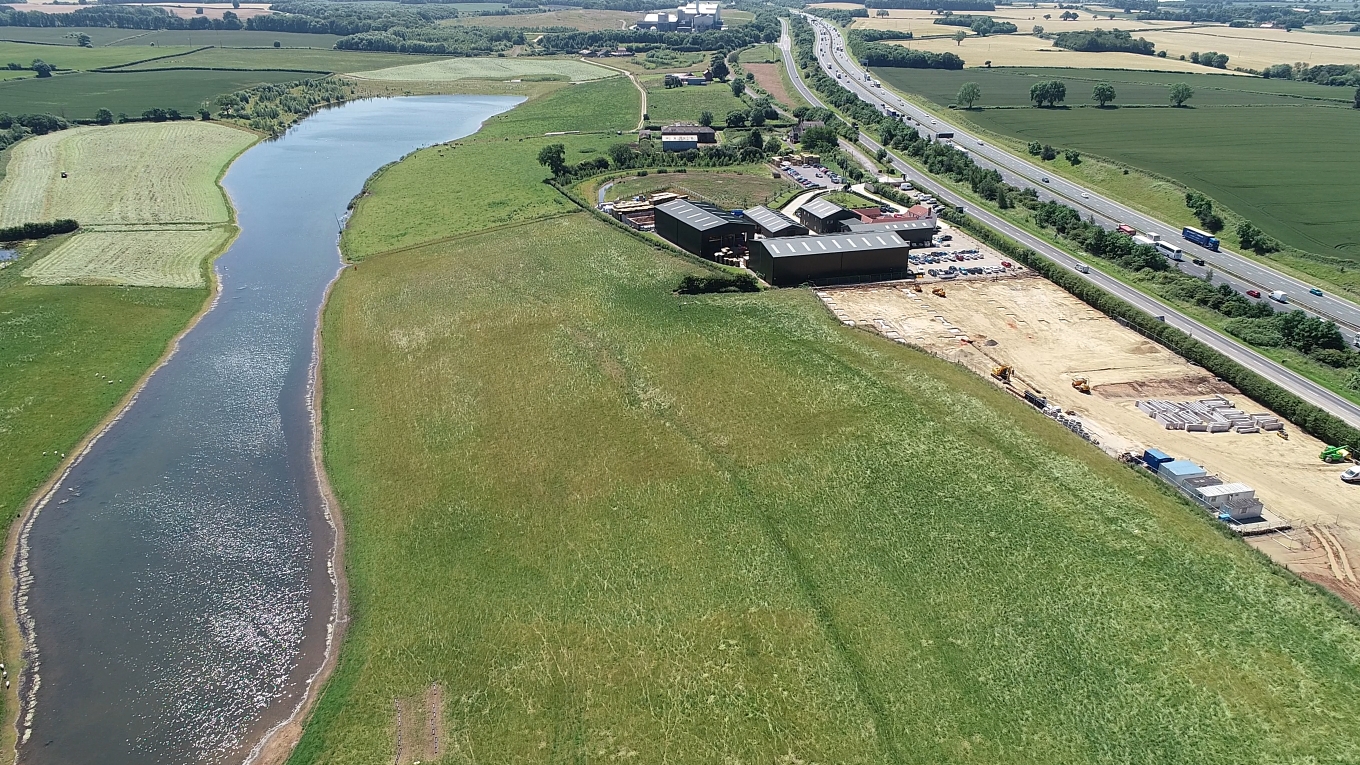
In conjunction with UK Site Engineering we carried out an aerial topographical survey over a 32acre site for a client in North Yorkshire. After laying out GCP’s1Ground Control Points across the site the flight was carried out using DroneDeploy’s flight planning app. The drone (a DJI Phantom 4 Pro) flew perfectly and collected 272 aerial … Read more